
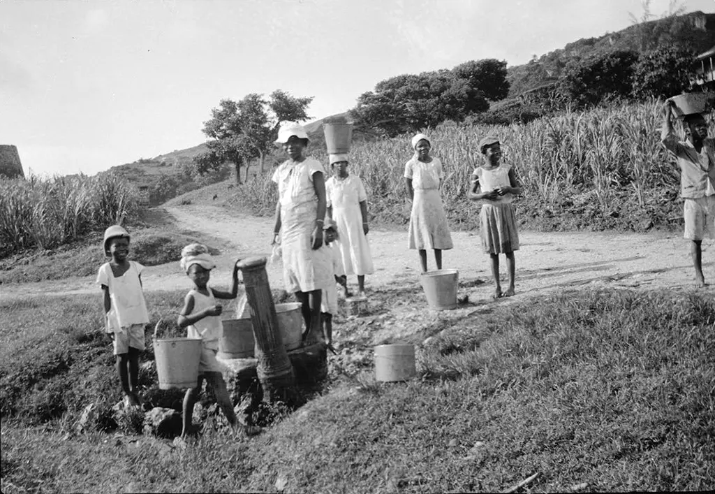
Standpipes are another symbol of disappearing Barbados culture.
Public water standpipes were introduced across the island in 1861 following a devastating 1854 cholera epidemic.
The 1854 cholera epidemic in Barbados was a catastrophic public health event that caused 20,727 deaths. The epidemic exposed severe deficiencies in sanitation, housing, and water supply and served as a catalyst for significant public health and infrastructural reform in Barbados.
The most significant impact of the 1854 cholera epidemic was the realisation of the need for clean, piped water to prevent future outbreaks.
A piped water system was established, with construction completed in June 1861, installing roughly 400 standpipes across the island. These standpipes provided free, clean water to village communities, fundamentally improving public health. The standpipe project of 1861 brought water to Bridgetown from sources like Ben Spring in St. John via a 26-kilometer pipeline.
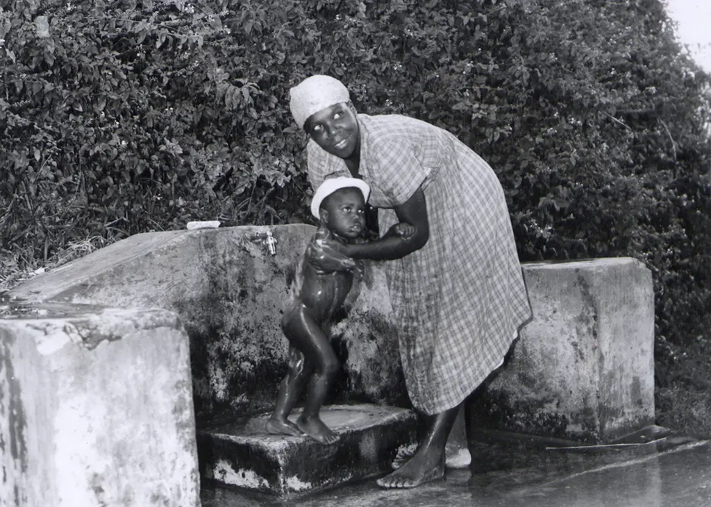
Standpipes served as vital social hubs for gatherings, gossip, and courtship, fundamentally shaping Bajan village life.
Standpipes in Barbados, once a vital source of public water, have gradually been decommissioned as piped water became available to individual households. However, many still remain – some preserved as historic landmarks.
Traditionally, standpipes are most commonly found in older neighbourhoods and rural villages.
In recent years, the government has also installed or rehabilitated standpipes in newer residential areas, particularly in communities that were previously informal settlements and are only now being integrated into formal utility networks such as electricity, natural gas, and water.
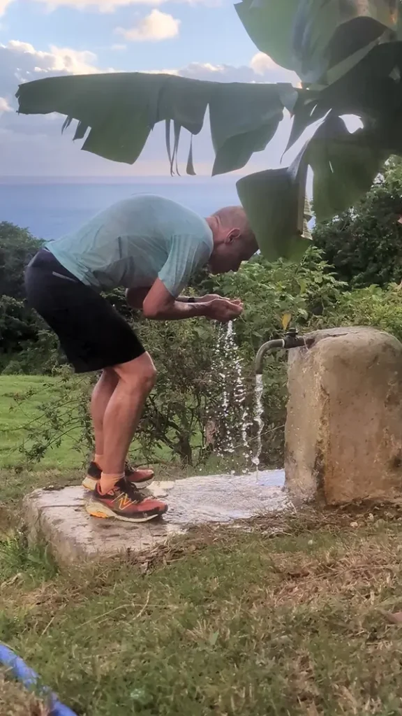
Despite modern infrastructure improvements, a number of standpipes across Barbados continue to be used daily, whether by nearby residents or by passing runners and hikers.
Google Maps – Standpipes of Barbados
The Google Map – Barbados Standpipes – is a project that Ralf Luther has been championing.
We urge you to view the Standpipes of Barbados map at full screen size by clicking on the link in the top right hand corner [ ] of the black ribbon. This will expand the map. Click on each icon for photos of individual standpipes.
- Blue icons – Standpipe still works.
- Yellow icon – known location of Standpipe but not yet logged.
- Red icon – Standpipe not working or destroyed or has vanished.
Please mail comments or corrections for the Google Map – Barbados Standpipes to ralf@run246.com.
Click here for Ralf’s album of Barbados Standpipes.